
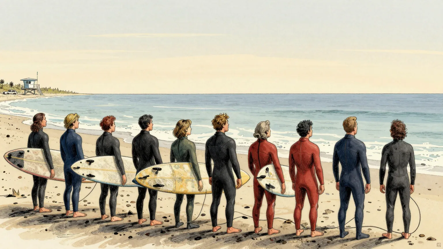
An ocean phenomenon known as a Kelvin wave could raise sea levels along the California coastline by up to a foot, as scientists say this year's El Niño is supercharging the threat of storm surges and coastal flooding in the coming months.
Kelvin waves form when the trade winds that normally blow from South America towards Asia weaken or reverse in El Niño years, releasing a vast, slow-moving slosh of water that had been piled up in the western Pacific.
They are not like the waves at the beach. They are planetary in scale, spanning thousands of miles, and they carry an enormous body of warm water slowly eastwards along the equator towards South, Central and North America.
"You can follow them along … we see the higher sea levels along the equator, and when the wave reaches the coast of South America, it cannot continue to go eastward," said Severine Fournier, a research scientist studying ocean circulation at Nasa's Jet Propulsion Laboratory. "So it goes north and south."
One such wave reached the northern tip of South America in late August and has been moving up towards the west coast of the United States since. It could arrive off California within days, and may hold sea levels up for months as El Niño keeps the warm water trapped against the coast.
Nate Mantua, a research scientist at the National Oceanic and Atmospheric Administration's Southwest Fisheries Science Center, explained the mechanism in domestic terms. "When the wind stops blowing or weakens, the force that's holding that pile of water in place goes away, so that water surges or sloshes back towards California," he said.
Kelvin waves are a natural phenomenon that has been occurring for thousands of years, and agencies such as Noaa have measured them since record-keeping began. What has changed is the baseline: sea levels have already risen about 8in over the last century, so each wave now arrives on top of a figure that is itself going up.
This year's El Niño is likely to be the largest in at least 1,000 years, with climate readings already past the highest temperature ever recorded for the phenomenon several months before it is expected to peak. Researchers have drawn on the exceptionally strong El Niños of 1983, 1998 and 2016 to predict where the effects will land. "We can predict a lot of the impacts," Mantua said, "but not all."
California has been preparing. The state has declared an emergency to stage equipment and resources ahead of any winter storms, and the California Coastal Commission has urged residents to inspect vulnerable areas, add drainage and deal with causes of damage now. "A key observation from past El Niño events is that the most damaging storms are often those that coincide with the highest tides," the commission's head, Kate Huckelbridge, wrote in a memo this month.
It is the description of the thing itself, rather than its arrival, that has detained this newspaper.
"It's a wave unlike the ones you're used to at the beach," said Mike Jacox, a research oceanographer at the Southwest Fisheries Science Center. It does not crash. It cannot really be seen coming.
Assembling the published characteristics gives the following object. It is thousands of miles across, which rules out a wavelength anyone could stand next to. It does not break, which removes the crest. It is invisible, which removes the face. It moves slowly enough to take months to pass, which removes the set.
What is left is a region of the Pacific that is slightly higher than the rest of the Pacific and is in no hurry about it. The Department of Unnecessary Research has been unable to distinguish this, by any measurement available to a person standing on a beach in Long Beach, from the sea.
Oceanographers are nonetheless entirely satisfied that it is a wave, and this newspaper defers to them without reservation. It is simply a wave that arrives, raises the water, and then declines to leave, which is the one thing the sea was already doing.