
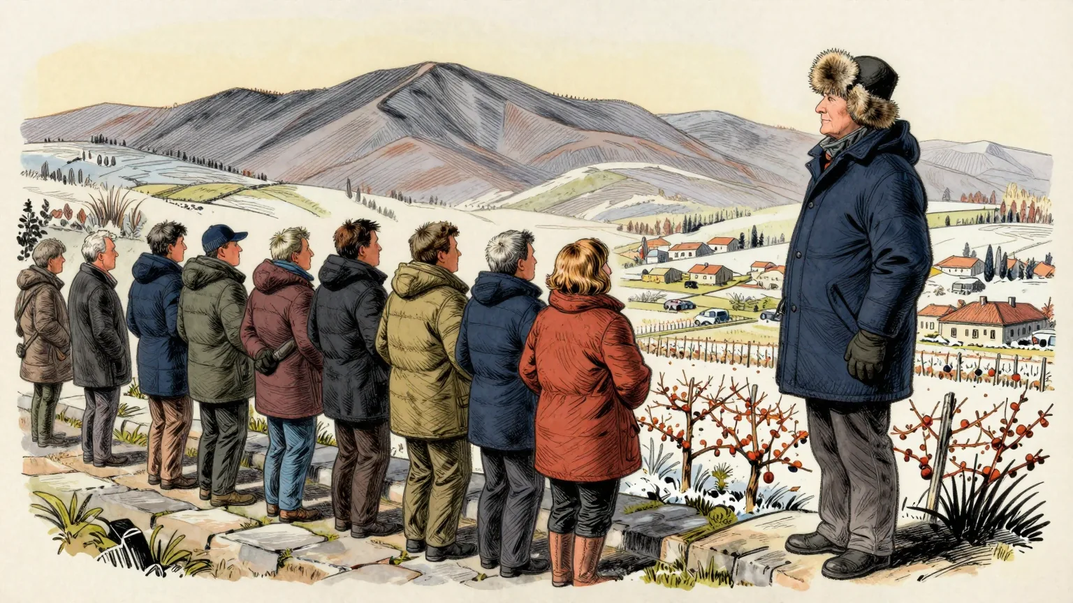
A mass of polar air will spread across eastern Europe this week, pushing daytime temperatures 10 to 15C below recent seasonal averages and bringing the first frosts of the autumn.
The driver is a massive upper-level blocking ridge building over the North Atlantic and Scandinavia. The high-pressure area forces a meridional flow from the north, allowing dense, polar-origin air to spill deep across the eastern half of the continent.
The sequence is well defined. On Tuesday a widespread cold air mass spreads across the Balkan Peninsula. It reaches Greece and the Aegean Sea on Wednesday, before moving into the Black Sea region and the rest of Turkey on Wednesday and Thursday.
Temperatures in the lowest and mid-levels will run about 6 to 10C below normal for late September. At the surface the anomalies are sharper: 10 to 15C below long-term averages across Serbia, Bosnia, Romania and Bulgaria on Tuesday, and 12 to 16C colder than normal across western Turkey on Wednesday.
Clear nocturnal skies and lighter winds will support the first morning frost of the season across low-lying valleys and agricultural basins, from the Baltic countries down to the central Balkans and on into Romania and Bulgaria. In the higher elevations of the Carpathians, and possibly the northern Balkans, falling freezing levels will trigger the first notable high-altitude snowfalls of the autumn.
The continent will be split in two. A ridge holding higher-than-normal temperatures remains over western Europe while the east cools, a dipole pattern forecasters expect to persist until late in the week.
The intrusion is short. It lasts through the mid-week days, after which the western ridge begins to expand back into central Europe. Temperatures across the south-central Balkans will stay in the upper 10s to low 20s, well below normal for the time of year, with the tourist season still in full swing in Greece and Turkey.
Read that sequence again and it is difficult to avoid the conclusion. The forecast is a timetable.
The air mass departs the north, calls at the Balkan Peninsula on Tuesday, continues to Greece and the Aegean on Wednesday, and terminates in the Black Sea region and the rest of Turkey on Wednesday and Thursday. It is routed around a blocking high. It travels by a corridor. Late in the week the western ridge resumes the service in the opposite direction.
This newspaper accepts the published schedule. What the forecast describes is a working continental service running from the Arctic to western Turkey, with named stops, a journey time of roughly three days and a return leg already announced.
The punctuality is the striking part. Nothing else in eastern Europe this week will keep to its advertised times as closely as the cold.
There are conditions of carriage, as there always are. The service calls at the Carpathians only above a certain elevation. It calls at the Baltic valleys only overnight. It reaches Greece and Turkey during the tourist season, which is a scheduling decision rather than a meteorological one, and it declines to serve western Europe at all this week.
The Department of Unnecessary Research asked the forecasters for the remainder of the timetable. It was told that the timetable is published continuously, revised without notice, and cannot be relied upon much beyond a week. On that basis it is indistinguishable from a railway.