
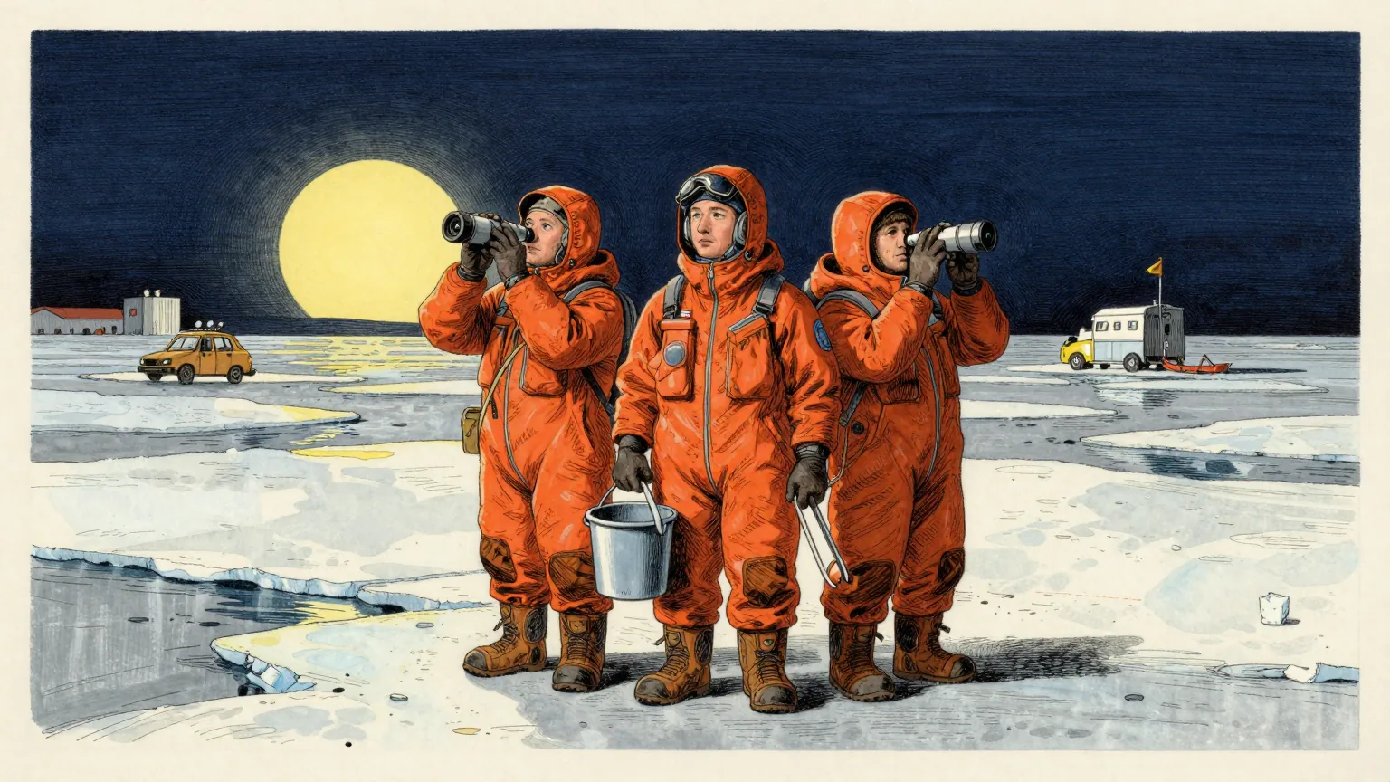
Arctic sea ice reached its annual minimum extent on 12 September, when it covered an estimated 4.6 million square kilometres, or 1.78 million square miles, according to NASA and the National Snow and Ice Data Center.
That ties 2008, 2010 and 2025 for the tenth-lowest minimum in the satellite record.
A layer of frozen seawater caps the Arctic Ocean. It grows through the long polar winter, usually peaking in March, then melts through the summer to its annual low in September. The cycle is a natural fluctuation that has persisted for millennia, but satellite records show the ice now covers less of the ocean at both its maximum and its minimum than it did a few decades ago.
Scientists have used satellites to observe that growth and retreat continuously since late 1978. Extent has declined overall across that period, and the downward trend steepened in the 2000s, setting off a run of record and near-record lows. The lowest minimum occurred in September 2012.
Each of the past 20 summers, from 2007 through 2026, ranks among the 20 lowest minimum extents in the satellite record.
More recently the September extent has been relatively steady. Weather can make a big difference to how much ice melts from one summer to the next, and over the past decade increased cloud cover has prevented sunlight from accelerating the melt, according to NASA scientists. Despite that plateau, the summer minimum remains well below the long-term average.
The ice that remains is younger and thinner. Observations show a decline in multiyear ice, the ice that survives at least one melt season, leaving an Arctic dominated by thinner first-year ice. Winter ice is shrinking too: the March 2026 maximum statistically tied the 2025 maximum for the lowest in the satellite record.
The measurement itself relies on satellites carrying passive microwave sensors, which read the microwave energy Earth naturally emits. Sea ice emits more of that energy than open water, so it stands out, and because microwaves pass through clouds the satellites can observe the ice regardless of weather. The record began with NASA's Nimbus-7, continued with Defense Meteorological Satellite Program spacecraft from 1987 and NASA's Aqua between 2002 and 2011, and since 2025 has used observations from the Japan Aerospace Exploration Agency's GCOM-W satellite.
Natural cycles such as the Arctic Oscillation play a part in year-to-year extent, but the decline observed across the satellite record cannot be explained by natural variability alone. Scientists have projected that an essentially ice-free Arctic could occur at least once before the middle of the 21st century.
Tenth of anything sounds comfortable, and it is worth being exact about the table in which the Arctic has placed tenth.
The satellite record opens in late 1978, which gives it forty-eight summers to rank. The twenty lowest minimums in it are the last twenty summers, 2007 to 2026, in some order. The league table and the calendar have converged.
A mid-table finish in that company is therefore not a result. It is a date. To place outside the twenty lowest, a summer would have had to happen before 2007, and no summer is now in a position to arrange that.
This is the rare ranking in which consistency and collapse are reported by the same number. The Arctic has held its position for two decades. It has held it by melting at a rate that keeps it comfortably inside the group that is melting.
The methodology adds a small courtesy. At the centre of every one of these images is the pole hole, the patch of ocean the sensors have historically been unable to see, and the estimates assume that hole is ice-filled. The Arctic therefore enters each season's table with a quantity of ice awarded on trust.
The Department of Unnecessary Research notes that the twenty lowest summers in the record are the twenty most recent summers in the record, and that the only way for next September to miss the list is for it to be cancelled.