
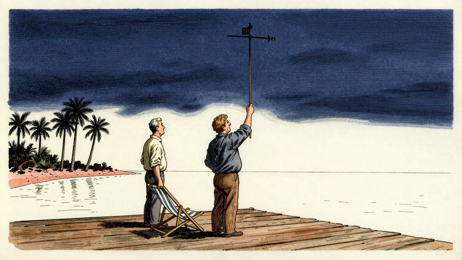
The Atlantic has gone further into a hurricane season without producing a hurricane than at any point in 112 years.
Five named storms have formed. None has reached hurricane strength. Tropical Storm Fay came closest, briefly approaching it before weakening in the open Atlantic.
In records going back to the 1850s, 1914 and 1907 are the only years without a recorded Atlantic hurricane. As FOX Weather Hurricane Specialist Bryan Norcross notes, hurricanes could have formed in those years and gone undetected, having stayed far from land and from ships at sea.
Measured from the start of the satellite era in 1966, this is the quietest start on record.
"It's extremely unusual, of course, to get this far into the season with the Atlantic hurricane-free," Norcross said. He cautioned against complacency, particularly in Florida. "But this week is only the mid-point of the hurricane season for South Florida, if you average landfall dates over the long-term record," he continued.
According to NOAA, the main driving factor is El Nino, one of three phases of the climate cycle known as the El Nino-Southern Oscillation. Above-average water temperatures in the central and eastern Pacific strengthen the subtropical jet stream and extend it well into the Caribbean and Atlantic. Those fast high-altitude winds hinder tropical development.
The Pacific shows the same pattern from the other side. It has produced 18 named storms this season, including six hurricanes, four of which reached major hurricane status.
El Nino conditions have strengthened significantly in the central Pacific. NOAA now puts the chance of a Super El Nino, defined as water at least 2 degrees Celsius above average for at least three consecutive months, forming between October and December at 97 per cent. If September ends without a hurricane it would be the eighth such month on record since the 1850s, and only the second since 1966. The others were 1994, 1939, 1925, 1914, 1907, 1905 and 1895.
There is a further constraint on what remains of the season. The Central American Gyre, a sprawling area of low pressure near Central America that can generate tropical systems in the Gulf and eastern Pacific in early autumn, has not produced a Gulf or Caribbean system in October in any Super El Nino year since 1960.
Climatologically, however, about 40 per cent of the season's hurricane activity still remains.
That last figure is the one this newspaper has been working on, because it is a proportion, and a proportion has to be a proportion of something.
The basin has produced zero hurricanes. Forty per cent of the season's hurricane activity is outstanding. Forty per cent of zero is zero, which means the Atlantic has already delivered the whole of its remaining activity, in advance, by doing nothing at all.
Our analysts have run the arithmetic in the other direction and it survives that too. If the 40 per cent is measured against a normal season rather than this one, then the activity is not absent but outstanding, and nothing in the climatology says an outstanding hurricane expires.
The Department of Unnecessary Research has therefore raised the question of carry-over. A seasonal average is a commitment made by nobody to nobody, and it has never been established what becomes of the hurricanes an average implies but a year declines to supply.
On the most generous reading the books are balanced. Five named storms have been produced, no hurricanes have been produced, and 40 per cent of the season's hurricane activity remains scheduled.
Norcross's warning stands and is the only part of this that matters. An average is not a forecast. The one storm that does form will not have read it.