
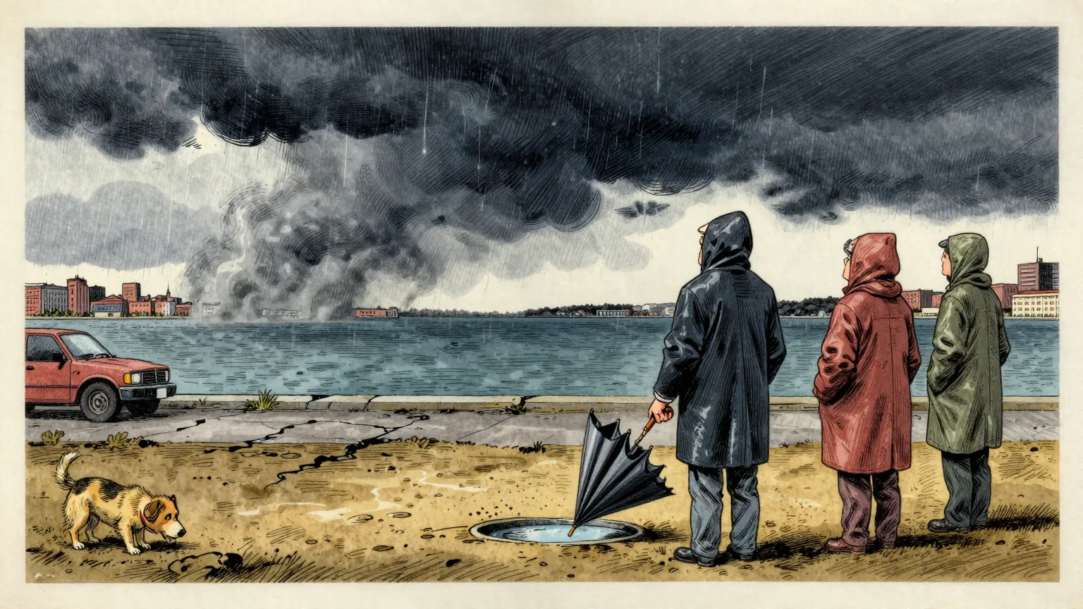
Vancouver had recorded 9.5 millimetres of rain this October as of 18 October, eight per cent of its monthly average of 123.9 millimetres. Victoria had recorded 2.6 millimetres, three per cent of its average of 96.1 millimetres.
The figures, published by The Weather Network's forecast centre on 19 October, put both cities on track for their driest October on record.
Victoria's shortfall is not confined to the month. The city has recorded 349.1 millimetres since the start of January, 57 per cent of its average for January to October.
The two cities are not normally comparable on rainfall. Vancouver's October average of 123.9 millimetres is around 29 per cent higher than Victoria's 96.1 millimetres, and both have now been reduced to single-figure percentages of it.
Across British Columbia's south coast, the forecast centre puts the precipitation shortfall for October at 100 to 150 millimetres.
The cause is a ridge of high pressure over the northeastern Pacific, which has established what forecasters call a blocking pattern.
A block of that kind does not switch the autumn storms off. It redirects them. The forecast centre reports that the systems which would normally reach the south coast are being steered instead toward Alaska and the Yukon.
There is little immediate relief in the forecast. A weak cold front may bring isolated showers on Friday and Saturday, and significant rainfall is unlikely before early next week.
Longer-range computer models hint at a potentially strong low pressure system developing offshore, which could bring widespread rain to the coast. The forecast centre's own assessment of that possibility is that confidence remains low.
It is worth being precise about what these figures describe. Vancouver and Victoria are not short of rain because less rain exists. They are short of rain because the rain is going somewhere else, and the somewhere else has a name.
This newspaper therefore declines to record a loss. Nothing has failed to form, evaporated unaccountably or gone astray. The storm systems have been identified, tracked and placed. They are north of here.
On that reading, the 100 to 150 millimetres absent from the south coast are not absent at all. They have been delivered. The delivery address is Alaska and the Yukon, and the error is clerical rather than atmospheric.
A blocking ridge, properly understood, is not a drought mechanism. It is a forwarding instruction. It takes the coast's October, leaves the paperwork where it is, and sends the contents to a neighbouring jurisdiction that did not request them.
The Department of Unnecessary Research has asked the forecast centre to confirm which territory is currently holding the rain, and whether any part of it may be recovered on application. Until then the position is straightforward. British Columbia is not without an October. Its October is in Alaska.